Official flag of Kyoto Prefecture. You can see this flag at every educational institution and government building.
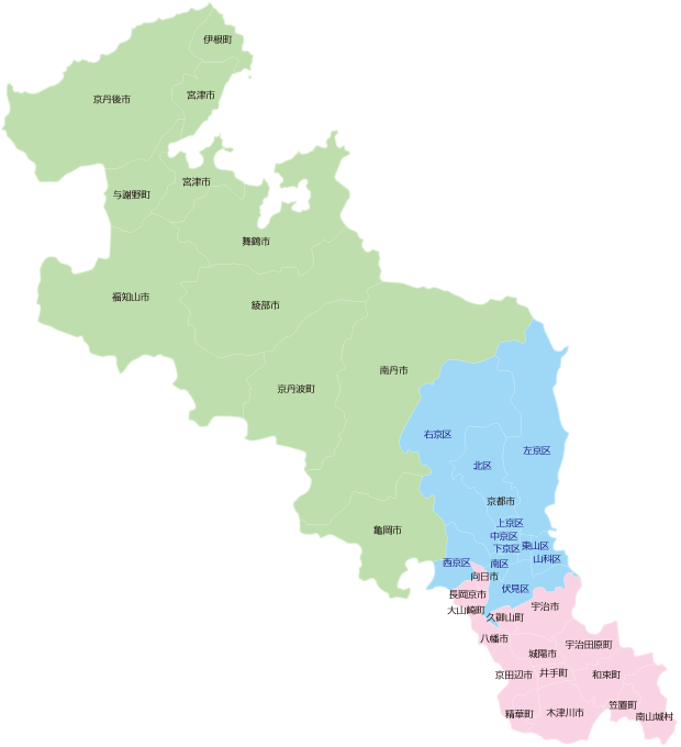
The cities of Kyoto Prefecture. The Prefecture is divided between 3 colors: green for Northern and Central Kyoto (Kyoto by the Sea for the northern region; Woodland Kyoto for the central region), blue for Kyoto-shi and its greater communities (Kyoto City area), and red for Southern Kyoto (Kyoto Tea Country). Photo originates from the Kyoto Prefectural Information Center and regional information originates from Kyoto Tourism.
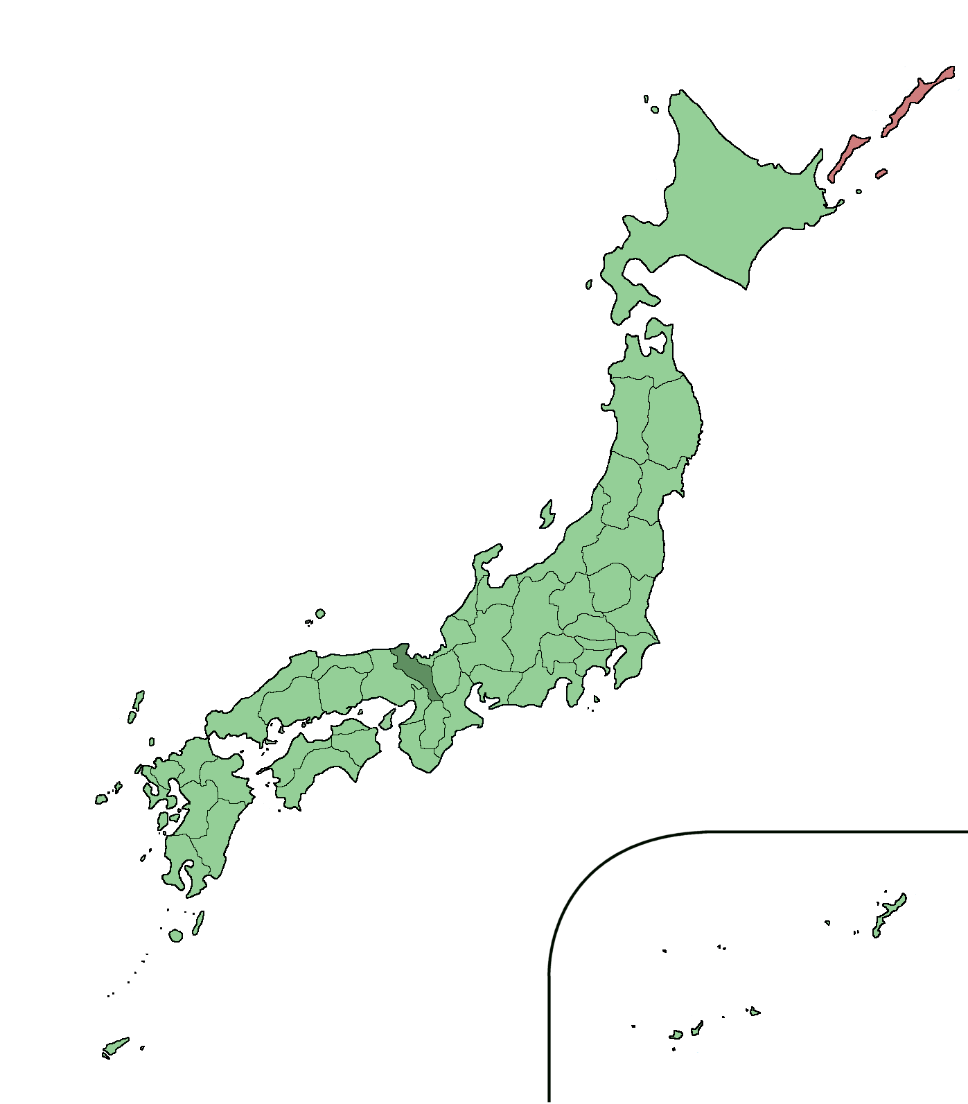
Kyoto Prefecture (京都府 Kyōto-fu?) is located in the centre of Honshu island.
Cities, towns and villages[]
The following is a list of places in Kyoto Prefecture where JETs are placed.
- Ayabe
- Fukuchiyama
- Ine
- Joyo
- Kameoka
- Keihoku
- Kyotanabe
- Kyotamba
- Kizugawa
- Kyōtango
- Kyoto
- Maizuru
- Miyama
- Miyazu
- Sonobe
- Uji
- Yosano
If your home town is not listed, please edit this section and add it to the list!
If your home town shows up as a red link, then the article does not yet exist. To create it, type the town name in the box and click "Create article".
<createbox>
 preload=Template:Local knowledge
editintro=Template:New local knowledge article help text
width=25
</createbox>
External links[]
- Kyoto Association of JETs (Private Facebook Group for all JETs in Kyoto-fu, Kyoto-shi, anywhere in Kyoto!)
- Official AJET Blocks (Kyoto is in Block 6; there is other information on this website
- Kyoto Prefecture Multilingual Website (updated regularly, good information for foreign residents)
- Kyoto Prefectural International Center (multilingual information about many topics, even medical advice too)
- Kyoto Prefecture JETs (updated regularly by the PAs, has information for all Kyoto JETs)
- Kyoto CIRs (Kyoto Across Cultures, updated regularly in Japanese and English; all of the CIRs of Kyoto!)
- Mayumaro (the official mascot of Kyoto Prefecture)
- Kyoto Prefecture Tourism (tourism that goes beyond Kyoto City)
- Kyotoajet.com - Official AJET website (Down)
- https://sites.google.com/site/kyotojets/ - Old Kyoto JETs website. Good website for information. Formerly updated by the PAs.